Metadata
Extent
    1368 Record(s) found
  • Security Zones of Afghanistan
    Digital polygon dataset of Security Zones of Afghanistan identified by UN . This dataset is basic vector layer acquired from ESRI Data and Maps 2001.
  • Boundary of Ludhi Khola Watershed, Gorkha, Nepal
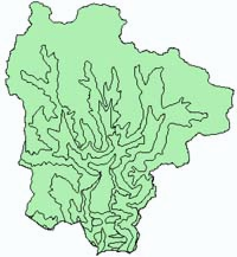
    Digital polygon data of Boundary Mask of Ludhi khola Watershed, Gorkha, Nepal. This dataset is created using Topographic sheet data at scale of 25,000/50,000, of 1995 acquired from National Geographi..
  • Contour, Western Nepal
    This Contour (line) digital data of Western Nepal was prepared based on toposheet and contour interval 500 feet.
  • Elevation Zones of Afghanistan
    Digital Grid dataset of Elevation Zones of Afghanistan. This dataset is acquired from ESRI Data and Maps 2001 and has been derived from 90 meter SRTM.
  • Mean Temperature of March for Hindu Kush Himalayan (HKH) Region
    Digital grid data of Mean Temperature of March for Hindu Kush Himalayan (HKH) Region. This dataset is acquired from USGS.
  • Ecological Zones of Sagarmatha National Park (SNP) Nepal
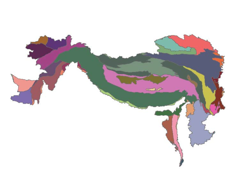
    Digital polygon dataset of Ecological zones of Sagarmatha National Park, Nepal. This dataset is created using Ecological map of Nepal prepared by Dobremez, 1988. The data was prepared for the HKKH Pa..
  • Annual temperature range of HKH
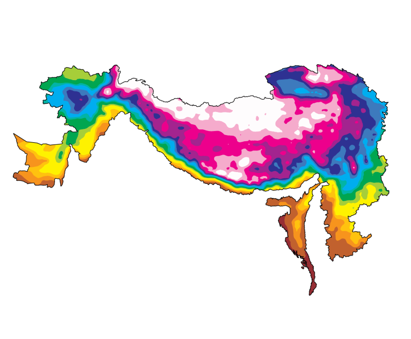
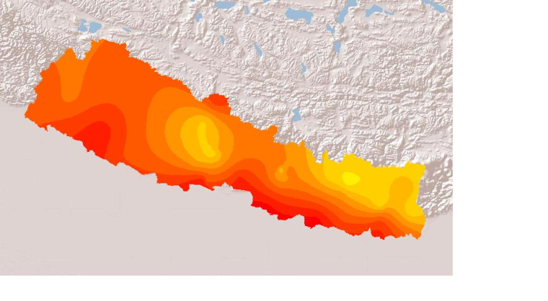
    The HKH Region Climate data were derived from WorldClim(http://www.worldclim.org/), This map layer shows annual temperature range for the period of 1950-2000.
  • Land Capability of Western Nepal
    Digital polygon data of Land Capability of Western Nepal. The dataset includes details of land forms, slopes, soil type, drainage conditions etc. This dataset is created using Land use Map, published..
  • Daily Mean Sunshine Duration May 2001 Nepal
    Daily mean sunshine duration of May 2001 of Nepal. This dataset is created using actual daily sunshine averages using Win-surfer and GIS-arc/info software packages. The mean values were derived from ..
  • Geologic Province of Hindu Kush Himalayan (HKH) Region
    Digital polygon dataset of Geologic Province of Hindu Kush Himalayan (HKH) Region. This dataset is basic Vector layer acquired from USGS.