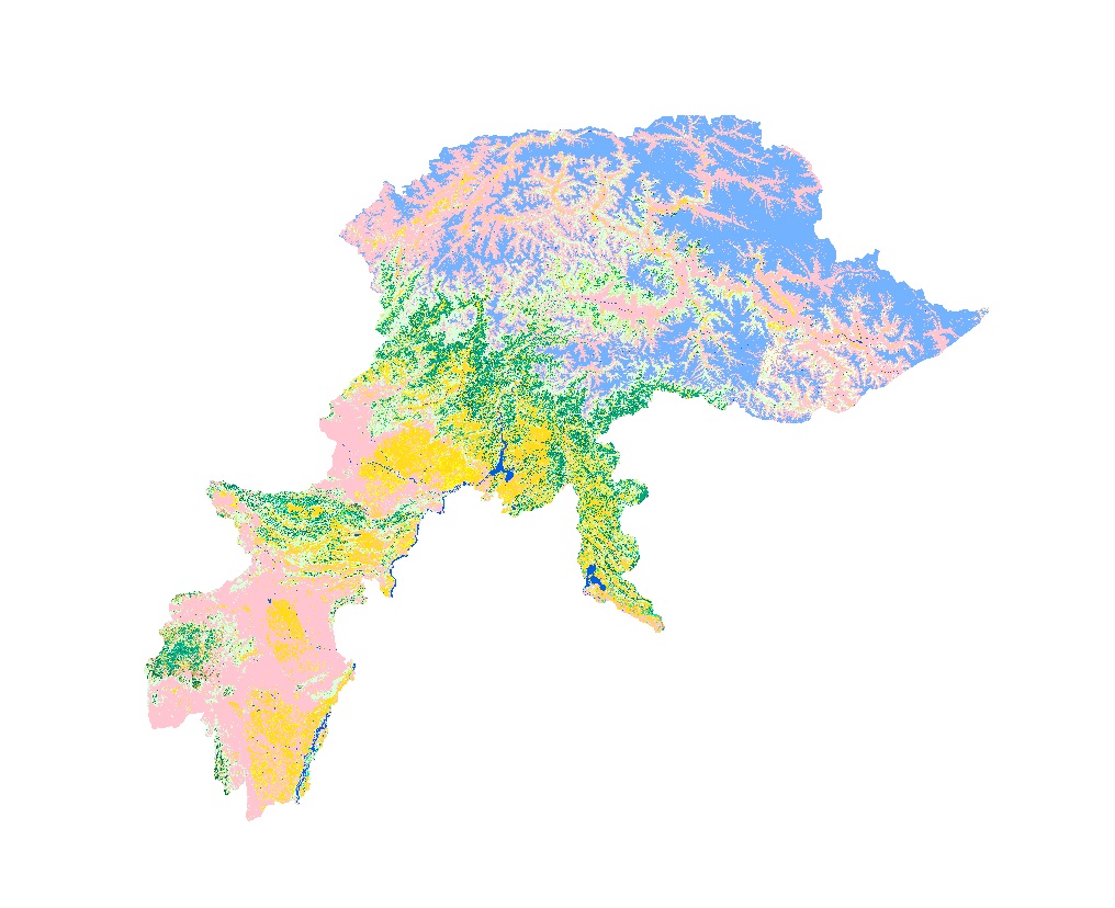
Land cover data of Hindu Kush Himalayan region of Pakistan for 1990. This dataset is created using the LandSat 30 meter spatial resolution satellite image of 1990.
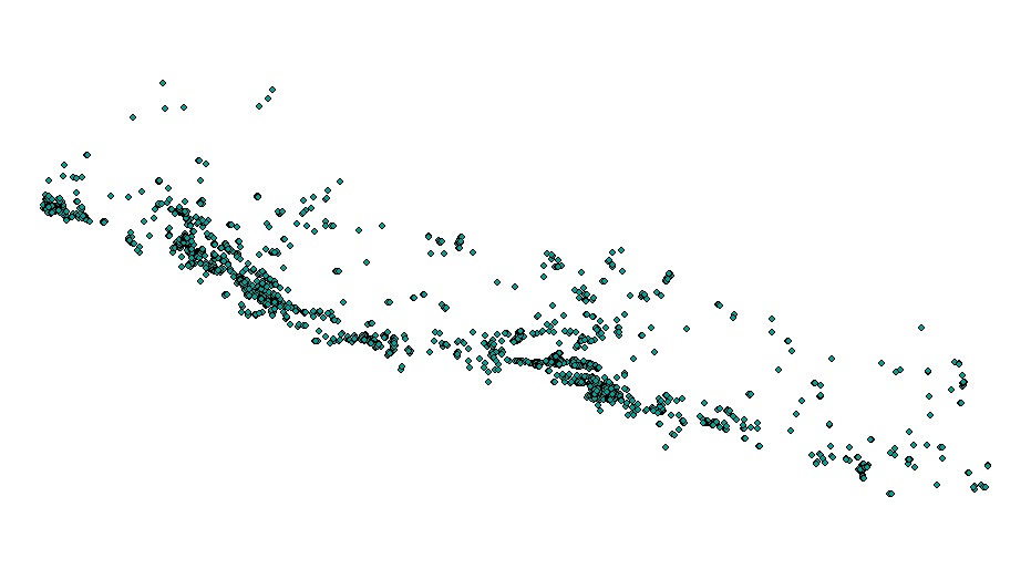
Moderate Resolution Imaging Spectroradiometer (MODIS) based active fire incident location data in Nepal from February 2012 to June 2016. The active fire data has been overlaid with land cover data o..
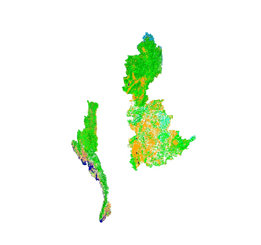
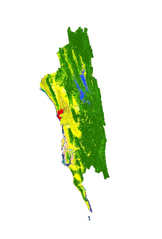
Land cover data of Greater Chittagong, Bangladesh for 2010. This dataset is created using the LandSat 30 meter spatial resolution satellite image of 2010.
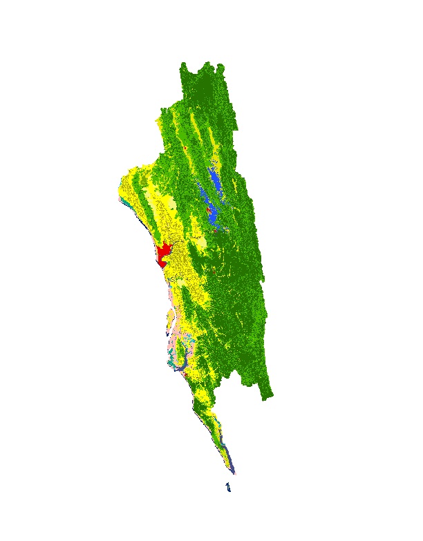
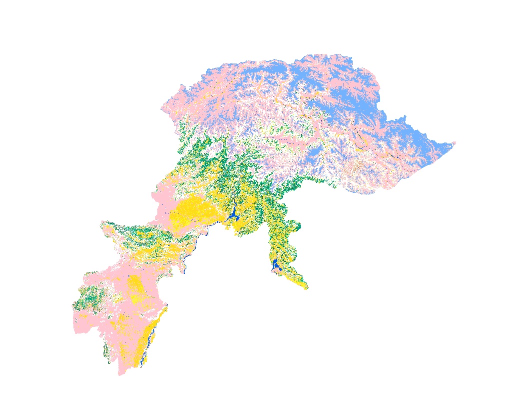
Land cover data of Hindu Kush Himalayan region of Myanmar for 2010. This dataset is created using the LandSat 30 meter spatial resolution satellite image of 2010 and includes land cover information f..
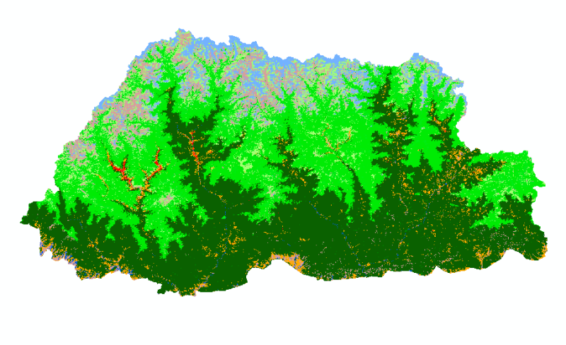
Moderate Resolution Imaging Spectroradiometer (MODIS) based active fire incidents in Bhutan from March 2012 to June 2016. The active fire data has been overlaid with land cover data of Bhutan to find..
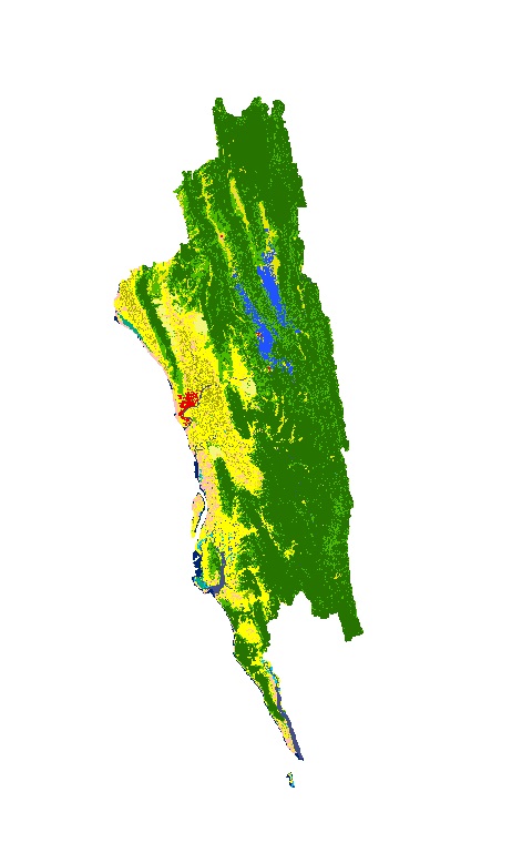
Land cover data of Greater Chittagong, Bangladesh for 1989. This dataset is created using the LandSat 30 meter spatial resolution satellite image of 1989.
Land cover data of Greater Chittagong, Bangladesh for 2010. This dataset is created using the LandSat 30 meter spatial resolution satellite image of 2000.
Land cover data of Hindu Kush Himalayan region of Pakistan for 2010. This dataset is created using the LandSat 30 meter spatial resolution satellite image of 2010.