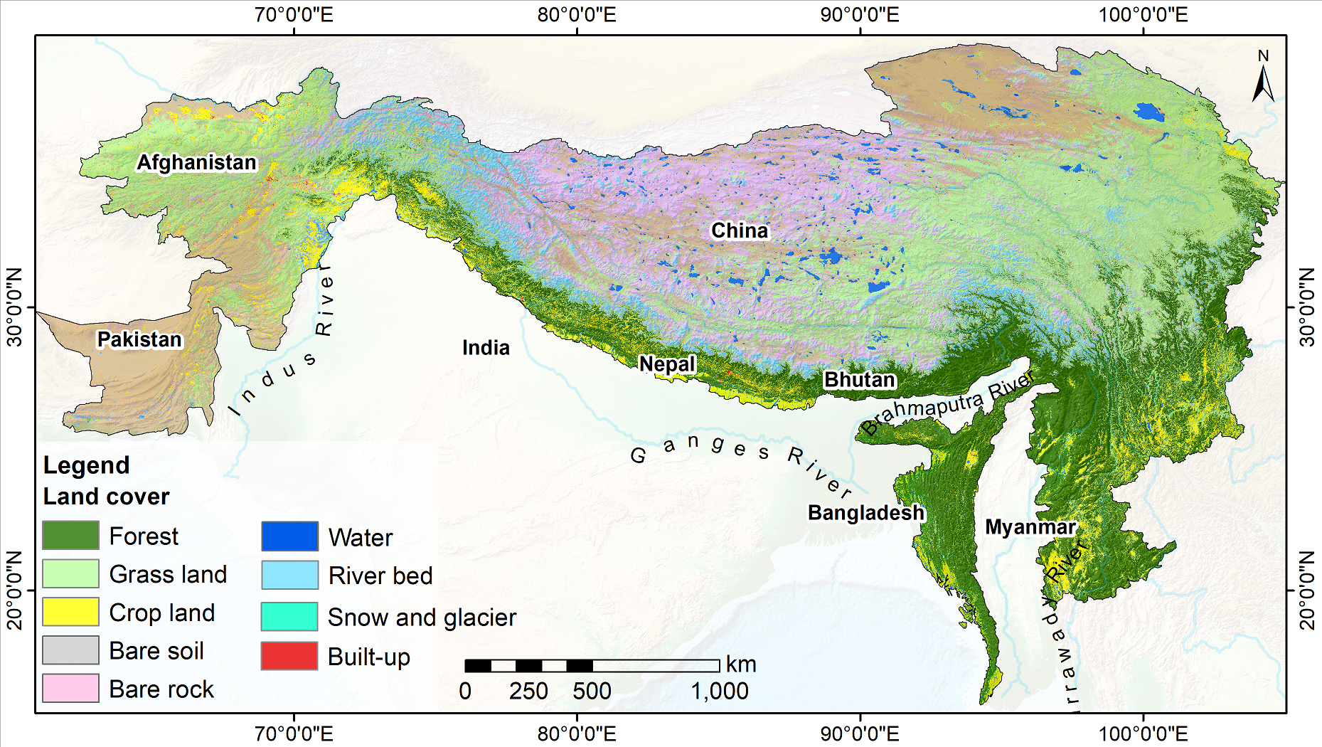
Land cover change is a significant contributor to environmental change. The degradation of forests and conversion of natural areas, forests, and farmlands to other land use impact ecosystem services ..
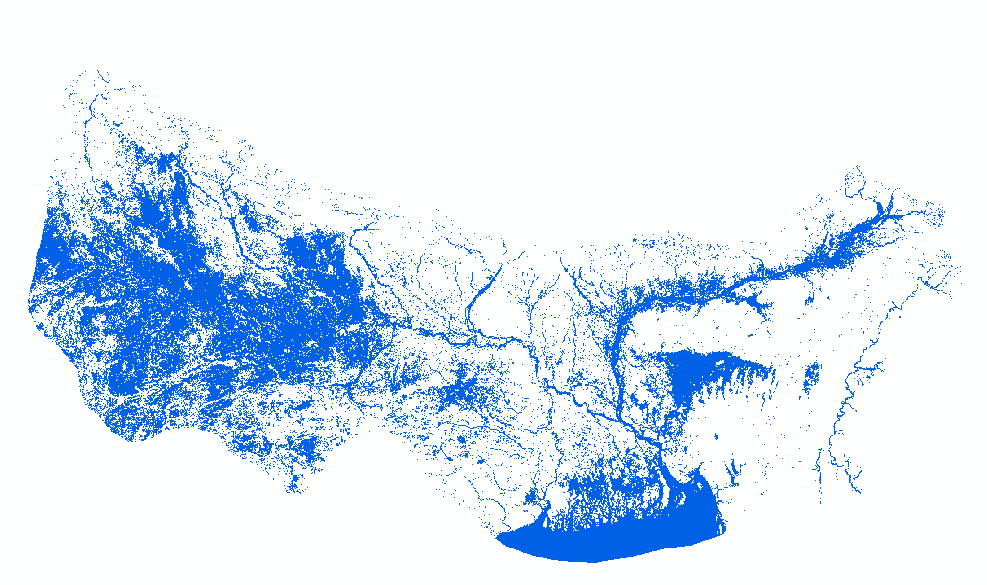
HydroSAR Hydro30 Surface Water Extent Product provides Radiometric Terrain Corrected (RTC) surface water extent over flood-prone regions in the Hindu Kush Himalaya (HKH) for the 2022 monsoon season. ..
Digital polygon dataset of Forest area of Khagrachari District of Bangladesh. This dataset is basic vector layer prepared based on LGED Administrative Base Map of Bangladesh.
Digital point dataset of Location of Growth Centers of Rangamati of Bangladesh. This dataset is basic vector layer based on LGED Administrative Base Map of Bangladesh.
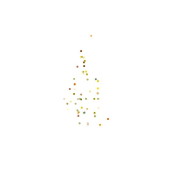
Digital point dataset of Location of Union Head Quarter of Rangamati of Bangladesh. This dataset is basic vector layer prepared based on LGED Administrative Base Map of Bangladesh.
Digital polygon dataset of Haor Wetland of Bandarban of Bangladesh. Haor is a bowl or saucer shaped shallow depression, also known as a backswamp. This dataset is basic vector layer prepared based on..
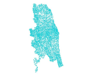
Digital line dataset of River Network of Bandarban of Bangladesh. This dataset is basic vector layer based on LGED Administrative Base Map of Bangladesh.
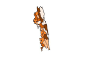
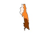
Digital polygon dataset of Population Distribution per District of Chittagong Hill Tracts of Bangladesh. This dataset is basic vector layer based on LGED Administrative Base Map and Bangladesh Bureau..
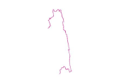
Digital line dataset of International Boundary of Chittagong Hill Tracts of Bangladesh. This dataset is basic vector layer based on LGED Administrative Base Map of Bangladesh.
Digital polygon dataset of Crop production of Chittagong Hill Tracts of Bangladesh. This dataset is basic vector layer based on LGED Administrative Base Map and Bangladesh Bureau of Statistics (BBS) ..