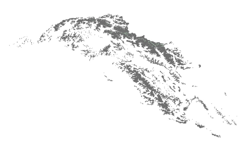
Digital polygon data of Status of Glaciers in Upper Indus Basin during 2005 ± 3 (2002-2008) years. This dataset is created using Landsat ETM+ imageries of respective years. The glacier outlines was d..
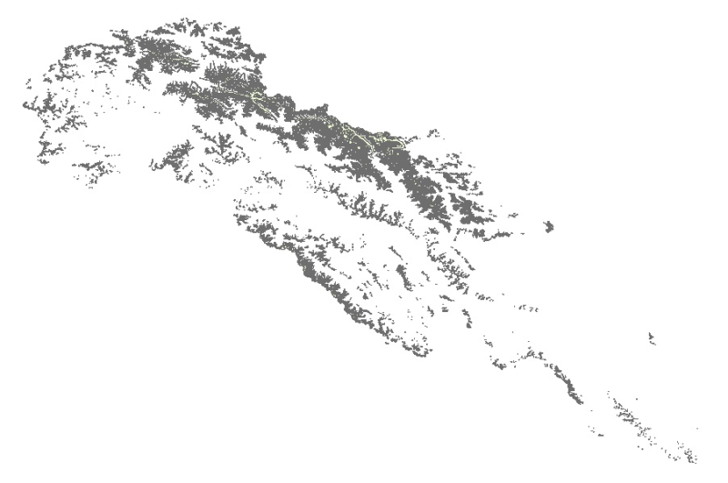
Digital polygon data of Status of Glaciers in Indus Basin during 2005 ± 3 (2002-2008) years. This dataset is created using Landsat ETM+ imageries of respective years. The glacier outlines was derived..
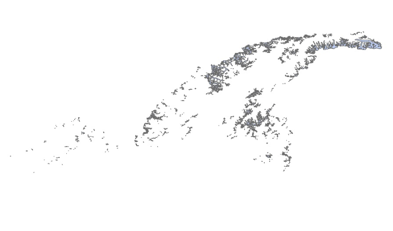
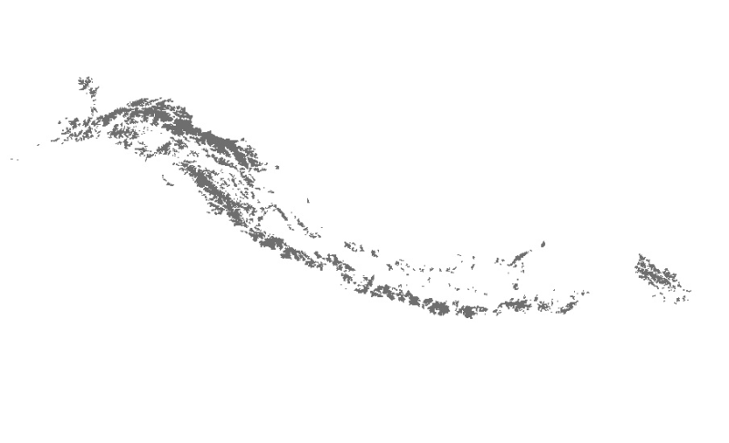
Digital polygon data of Status of Glaciers in Panjnad Basin during 2005 ± 3 (2002-2008) years. This dataset is created using Landsat ETM+ imageries of respective years. The glacier outlines was deriv..
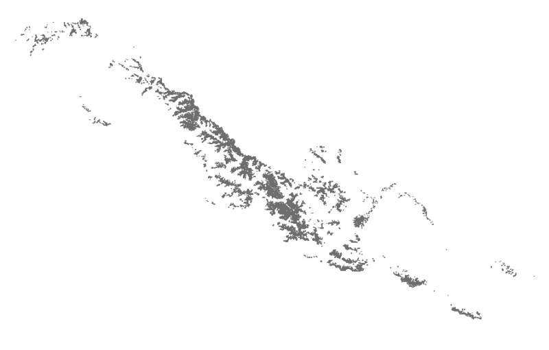
Digital polygon data of Status of Glaciers in Kabul Basin during 2005 ± 3 (2002-2008) years. This dataset is created using Landsat ETM+ imageries of respective years. The glacier outlines was derived..
Digital polygon data of Status of Glaciers in Hindu Kush Himalayan (HKH) Region during 2005 ± 3 (2002-2008) years. This dataset is created using Landsat ETM+ imageries of respective years. The glacie..